digitalfootprints
Interactive Web Mapping Portfolio for NewMapsPlus
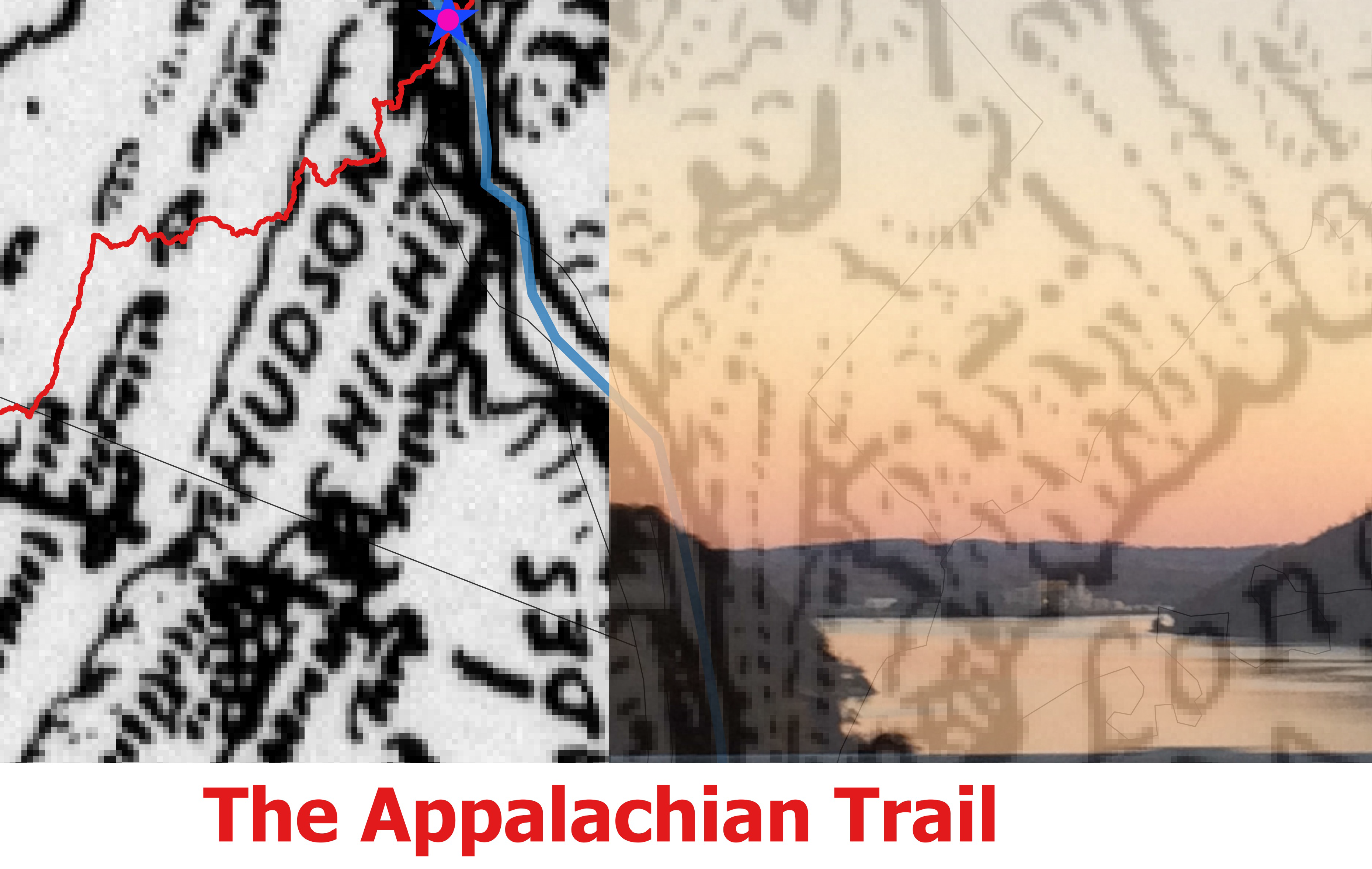
This map was created in QGIS by georeferencing the Landforms of the United States map by Erwin Raisz.
(Used with permission for intructional purposes only in MAP671 at the University of Kentucky).
A polygon, point, and line were created to overlay onto the map to intoduce color to the Taconic Mountains, Bear Mountain Bridge, and Hudson River.
This map of the coastal and Great Lakes states depicting the states required to report on water quality to the EPA under the BEACH Act of 2000 was created in CARTO. The map depicts the location of each reporting beach, with a pop-up showing the public accessibility, county, state, and clickable URL to the Water Quality Report,
with Individual Monitoring Site locations and ID for further investigation. Use this map when visiting an unfamiliar area to find water quality reports for the local beaches. To create this map, spatial query, join, and field calculate were used for each of the 8,800 reporting location incidents and their unique identifier.
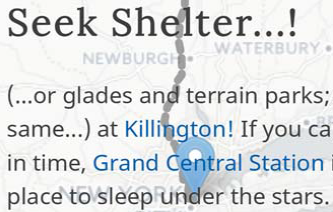
This map was built with custom JavaScript code drawing upon the Leaflet JavaScript Library, using Maps to GPX to plot a route away from the blizzard to the safety of a ski resort ;)
The user can mouse over the markers, or click on the links for more information.
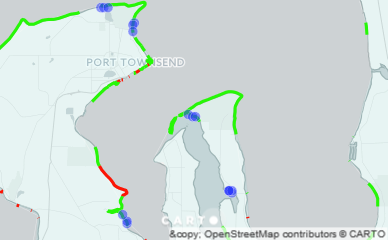
This map was built with custom JavaScript code drawing upon the Leaflet JavaScript Library.
A variety of custom markers were used to indicate specific points of interest.
On mouseover the markers show names, phone numbers, and links to web pages for each site.
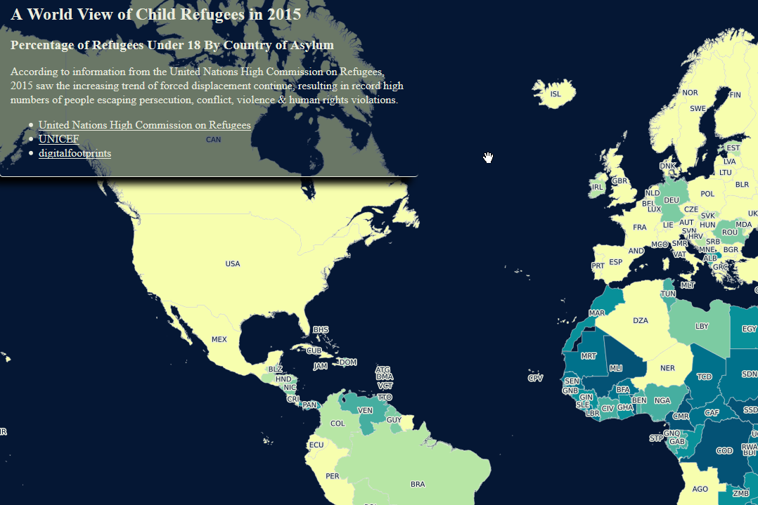
This chloropleth map of the world was created using CARTO Builder and Leaflet Javascript libraries.
The .csv data is hosted and geocoded on CARTO.
The user has the option of adding or removing the legend as necessary.